
Arrivals
Live arrival times, status, terminal and baggage belt are on the arrivals page.
Airport information
Live arrival times, status, terminal and baggage belt are on the arrivals page.
Live departure times, status, terminal and gate are on the departures page.
View current aircraft positions around this airport and find a flight directly on the map.
What do the colors mean?
The white arrow on the runway points the way the traffic is going. Derived from the positions of aircraft flying low near the airport right now. Not an official runway plan; what we see.
Designation, direction and length of every runway. These rarely change; which one is in use right now shows up here whenever we observe traffic.
1 runway · Longest runway: 7,546 ft
We currently see no traffic on approach or just after takeoff. That happens at a quiet airport or in the middle of the night.
Runway data: OurAirports, public domain.
Practical
Transport by taxi; parking at the airport; picking someone up or dropping them off.
Fly direct
The destinations we know the most flight numbers for. That approximates how heavily a route is served; it is not a passenger count.
Other airports within reach, with the straight-line distance and the number of direct destinations we know of. Airports without scheduled service are left out.
Airport facts
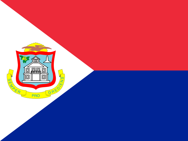
Princess Juliana International Airport (IATA SXM, ICAO TNCM) lies on the Dutch side of the island of Saint Martin, between Simpson Bay Lagoon and Maho Beach, where the aircraft pass a few dozen meters above the sunbathers on their way to the runway. It is the busiest airport of the northeastern Caribbean and the hub for the small islands around it, Saba, Sint Eustatius, Anguilla, St. Barts and Nevis among them, and the gateway for the cruise ships and resorts of both the Dutch and the French side of the island. Rebuilt after Hurricane Irma in 2017, the terminal reopened in full in 2024. The radar on this page shows what our data sources report around the island; the arrivals and departures pages are linked above it.
KLM flies from Amsterdam, the longest route of the airport and a lifeline to the Netherlands; Air France comes from Paris, and American Airlines, Delta, JetBlue and United connect Miami, New York, Atlanta, Charlotte and other US cities, with Air Canada and WestJet from Toronto and Montreal in winter. The island hops are flown by Winair and the regional carriers to Saba, Sint Eustatius, St. Barts, Anguilla, Dominica and Nevis, and Caribbean Airlines links Trinidad and Jamaica. The island is beyond the reach of our receivers, so the live radar depends on other data sources.
Taxis wait outside arrivals and charge fixed fares by zone, posted at the stand: ten minutes to Simpson Bay and Maho, twenty to Philipsburg and the cruise port, half an hour to Marigot and Grand Case on the French side. Rental cars are the usual choice, with the companies in and around the terminal; the island is small and there is no border check between the Dutch and French halves, though prices on the French side are in euros and on the Dutch side in dollars and guilders. There is no useful bus service from the airport.
The terminal is a single building with departures upstairs and arrivals downstairs; US-bound flights leave in the early afternoon in a bunch, when the security and check-in queues are longest, so arrive two hours ahead. Watching the jets land over Maho Beach is a tourist attraction in itself, but standing behind the fence at take-off is dangerous and forbidden. Hurricane season runs from June to November. The French side has its own small airport, Grand Case, with flights to Guadeloupe and Martinique, and San Juan is the big regional hub an hour away. Every airport we track is listed in the airport overview.